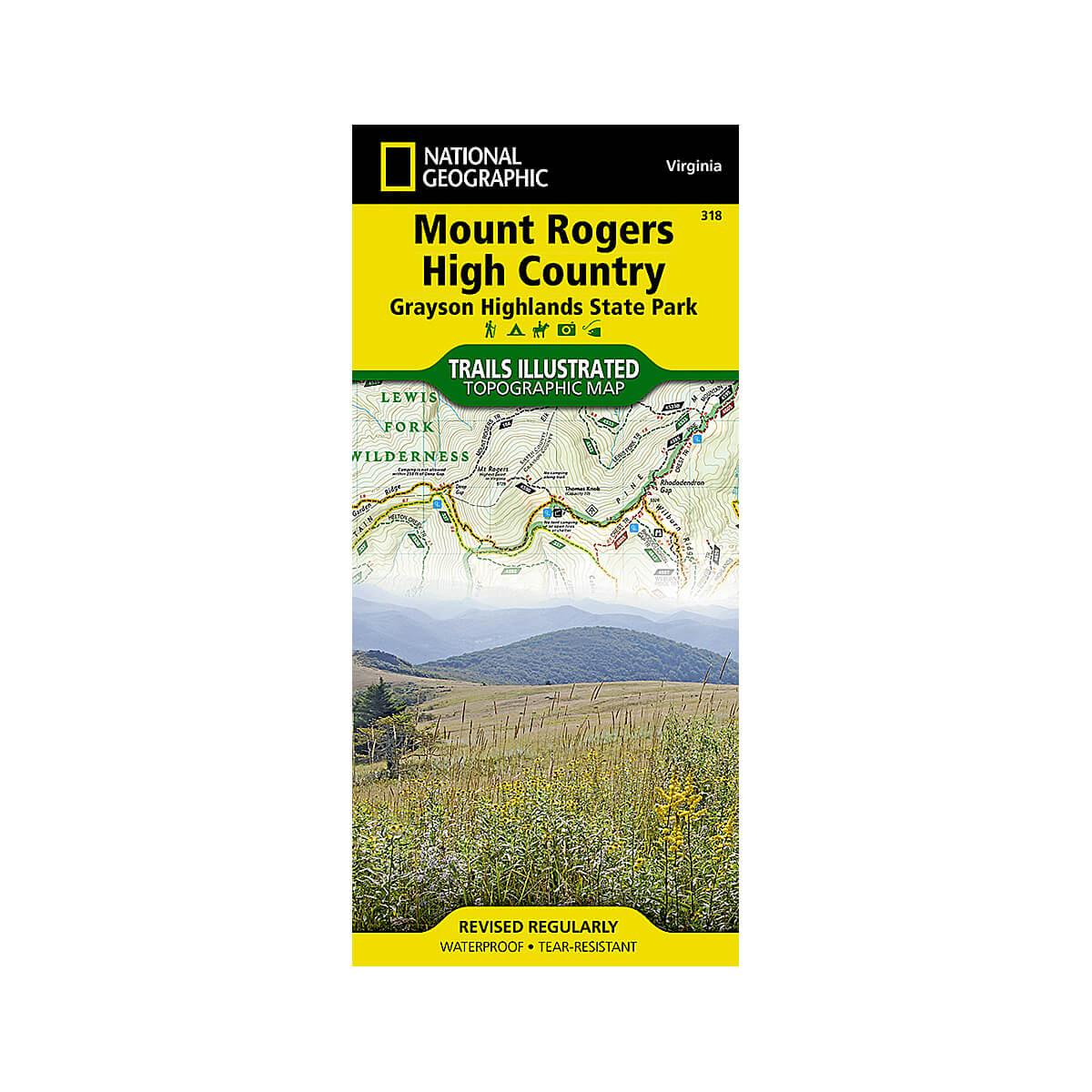
Mount Rogers High Country And Grayson Highlands State Park Map
Set your sights on the High Country
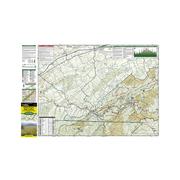
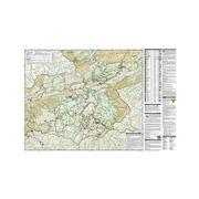
Let National Geographic guide you to the highest areas in southwestern Virginia with our Trails Illustrated map of Mount Rogers High Country and Grayson Highlands State Park. Expertly researched and created in partnership with the U.S. Forest Service, Virginia State Parks, and others, the unparalleled detail of the map will lead you around this scenic and recreational area. A chart with each trail's location, mileage, difficulty rating, and designated use will help you choose a suitable route, whether traveling by bike, motorcycle, horseback, or on foot. A special trail profile of the Appalachian Trail also includes showing elevations, distances, and key points of interest along its 60-mile section within the high country. The Virginia Highlands Horse Trail and Virginia Creeper Trail are also both highlighted. All trails have mileage markers between intersections and are color-coded according to their designated usage. The map base includes contour lines, elevations for summits, and water features.
Recreational activities are clearly indicated, including: campgrounds, horse camps, and backcountry shelters; boat ramps, fishing areas and stocked trout streams; wildlife viewing areas and scenic viewpoints, and much more. Mount Rogers Scenic Byway and Virginia's scenic byways are noted on the map for those interested in exploring the area by car. Among the key points of interest on the map are the Lewis Fork, Little Wilson Creek, and the Raccoon Branch Wildernesses, Beartree Recreation Area and Iron Mountains. The map also includes useful background information about the area, wilderness rules and regulations, safety tips, and contact information.
Every Trails Illustrated map is printed on "Backcountry Tough" waterproof, tear-resistant paper. A full UTM grid is printed on the map to aid with GPS navigation.
Other features found on this map include: Cherokee National Forest, Iron Mountains, Jefferson National Forest, and Mount Rogers.
Specs
- Waterproof
- Tear-Resistant
- Topographic Map
- Folded Size: 4.25" x 9.25"
- Flat Size: 37.75" x 25.5"
- Scale: 1:35,000
- Weight: 1oz
- 2 pages
the item is unavailable at the dimmed locations
We strive to provide the best customer service possible. When an item is shown as available in a location, we suggest calling ahead before driving to the store. Ask an associate to hold the item for your arrival to ensure its availability.
hours
mon9AM - 6PM
tue9AM - 6PM
wed9AM - 6PM
thu9AM - 6PM
fri9AM - 6PM
sat9AM - 6PM
sun11AM - 6PM
hours
mon10AM - 6PM
tue10AM - 6PM
wed10AM - 6PM
thu10AM - 6PM
fri10AM - 6PM
sat10AM - 6PM
sun11AM - 6PM
hours
mon10AM - 8PM
tue10AM - 8PM
wed10AM - 8PM
thu10AM - 8PM
fri10AM - 9PM
sat10AM - 9PM
sun11AM - 6PM
hours
mon10AM - 6PM
tue10AM - 6PM
wed10AM - 6PM
thu10AM - 6PM
fri10AM - 7PM
sat10AM - 7PM
sun11AM - 6PM
hours
mon10AM - 6PM
tue10AM - 6PM
wed10AM - 6PM
thu10AM - 6PM
fri10AM - 8PM
sat9AM - 8PM
sun11AM - 6PM
hours
mon10AM - 8PM
tue10AM - 8PM
wed10AM - 8PM
thu10AM - 8PM
fri10AM - 9PM
sat10AM - 9PM
sun11AM - 6PM
hours
mon10AM - 6PM
tue10AM - 6PM
wed10AM - 6PM
thu10AM - 6PM
fri10AM - 7PM
sat10AM - 7PM
sun11AM - 6PM
hours
mon10AM - 8PM
tue10AM - 8PM
wed10AM - 8PM
thu10AM - 8PM
fri10AM - 9PM
sat10AM - 9PM
sun11AM - 6PM
hours
mon10AM - 6PM
tue10AM - 6PM
wed10AM - 6PM
thu10AM - 6PM
fri10AM - 8PM
sat10AM - 8PM
sun11AM - 6PM
hours
mon10AM - 6PM
tue10AM - 6PM
wed10AM - 6PM
thu10AM - 6PM
fri10AM - 7PM
sat10AM - 7PM
sun11AM - 6PM
hours
mon10AM - 6PM
tue10AM - 6PM
wed10AM - 6PM
thu10AM - 6PM
fri10AM - 8PM
sat10AM - 8PM
sun11AM - 6PM


 Sign In
 Go to My Account
 Password Reset
 Email Preferences
 Order History
 Address Book
 Mailing List
 Wish List
 Sign Out


 828-963-6511
 directions
 Parking






 history